
Archives: Advance Page

Developing Mechanisms for Data Sharing
—
by
The Least Developed Countries and Small Island Developing States in the region, although disproportionately affected by climate impacts, have significant gaps in observation systems and lack resources and institutional mechanisms to address the gap. Non-GTS (Global Telecommunication System) data are shared by RIMES member states through regional data sharing mechanisms to ensure the availability of…
Oceanic Data System
—
by
Sea level station data has been integrated into national networks via cellular telemetry and shared globally through GTS to the GLOSS network.
Seismic Data System
—
by
Most seismic data have been integrated into national networks by data transmission via cellular telemetry to the Apollo server located at the national data center, except for RM-SZP which uses satellite telemetry. The Apollo server is a platform for consolidating continuous real-time data seismic waveform, state-of-health data, and log files using Nanometrics Protocol (NP) or…

Integrating Diverse Data System
—
by
RIMES assists NMHSs in designing and deploying data integration systems for unifying diverse data acquisition platforms. These platforms are integrated with web-based portals for data storage, exchange, dissemination, and archiving.
Hydrometeorological Observation and Monitoring System
—
by
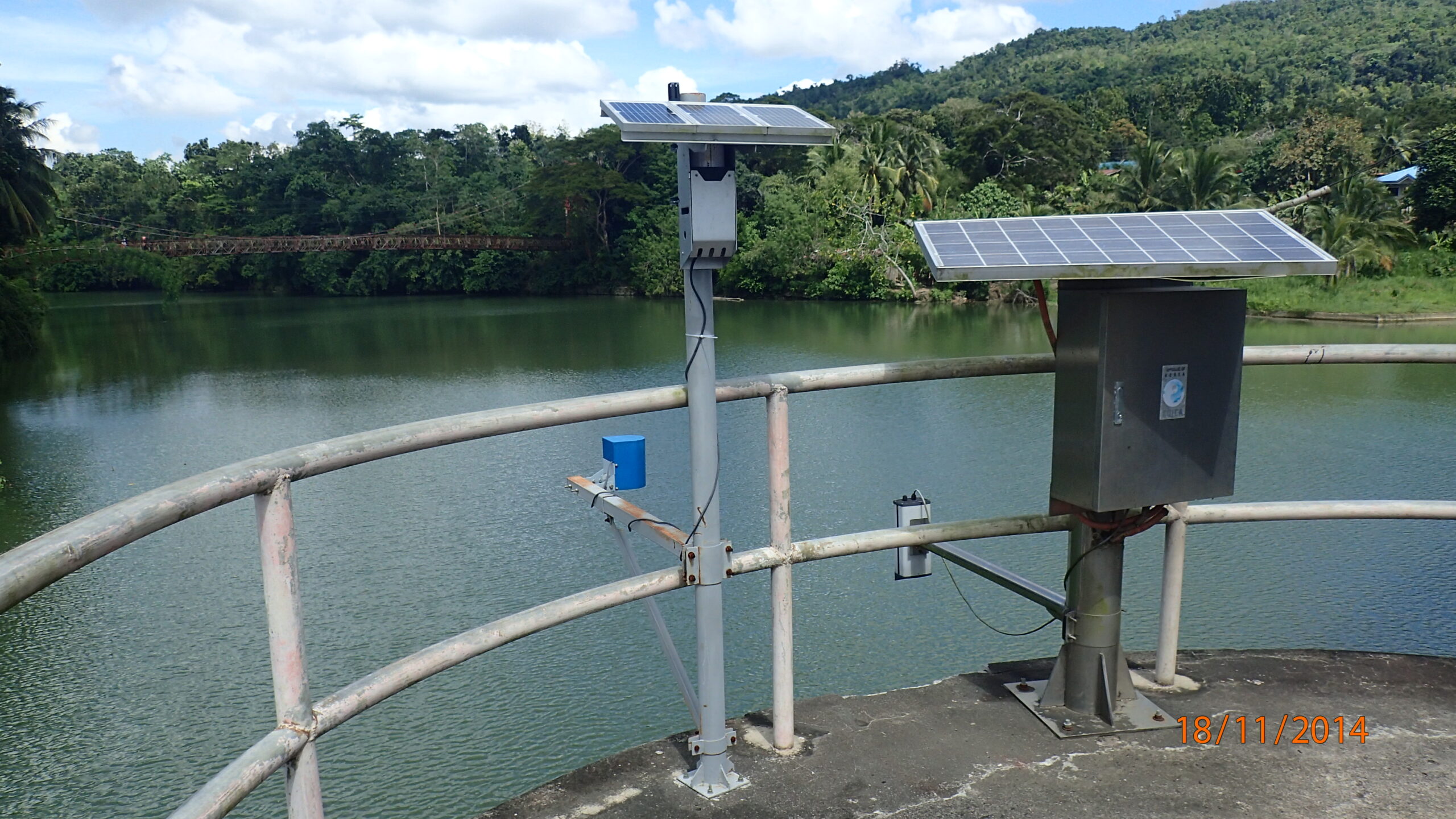
Socio-economic sectors such as agriculture, fisheries, and commerce are highly sensitive to climate extremes like droughts, floods, storms, and other hydrometeorological hazards. With the purpose of bridging the data gap for early warning systems as well as enhancing monitoring capacities for sectoral applications, RIMES assists NMHSs according to the needs of the host country in setting…
Oceanic Observation and Monitoring System
—
by
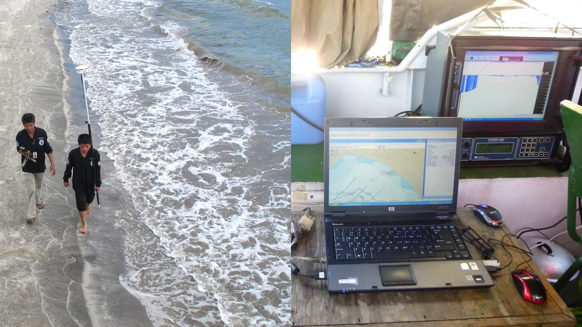
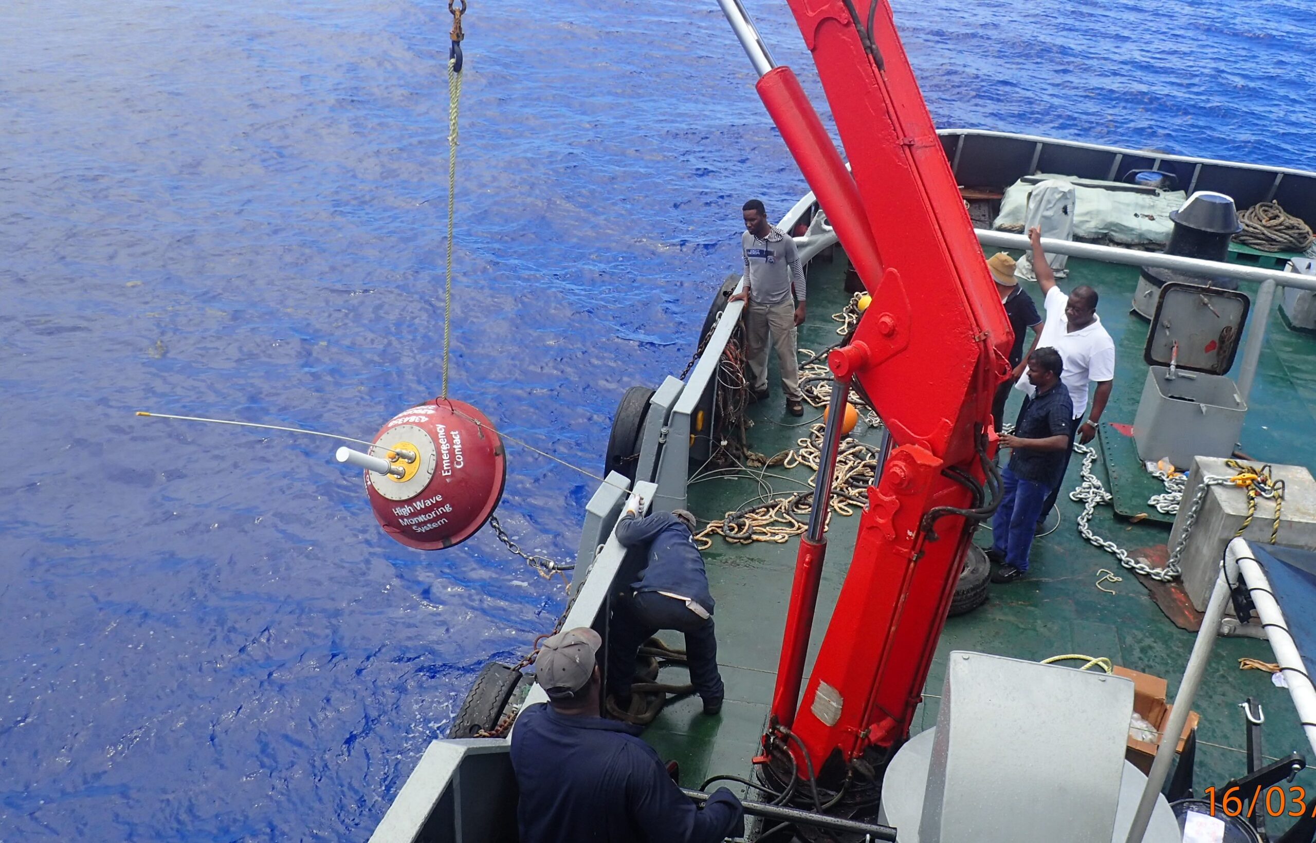
RIMES has established sea-level stations in the region, that transmit data via telemetry to the data centers and distribute it globally to the Global Sea Level Observing System (GLOSS) network. RIMES has also deployed wave rider buoys that use satellite telemetry for data transmission. These oceanic observation stations are key to capturing vital marine observation…

Seismic Observation and Monitoring System
—
by
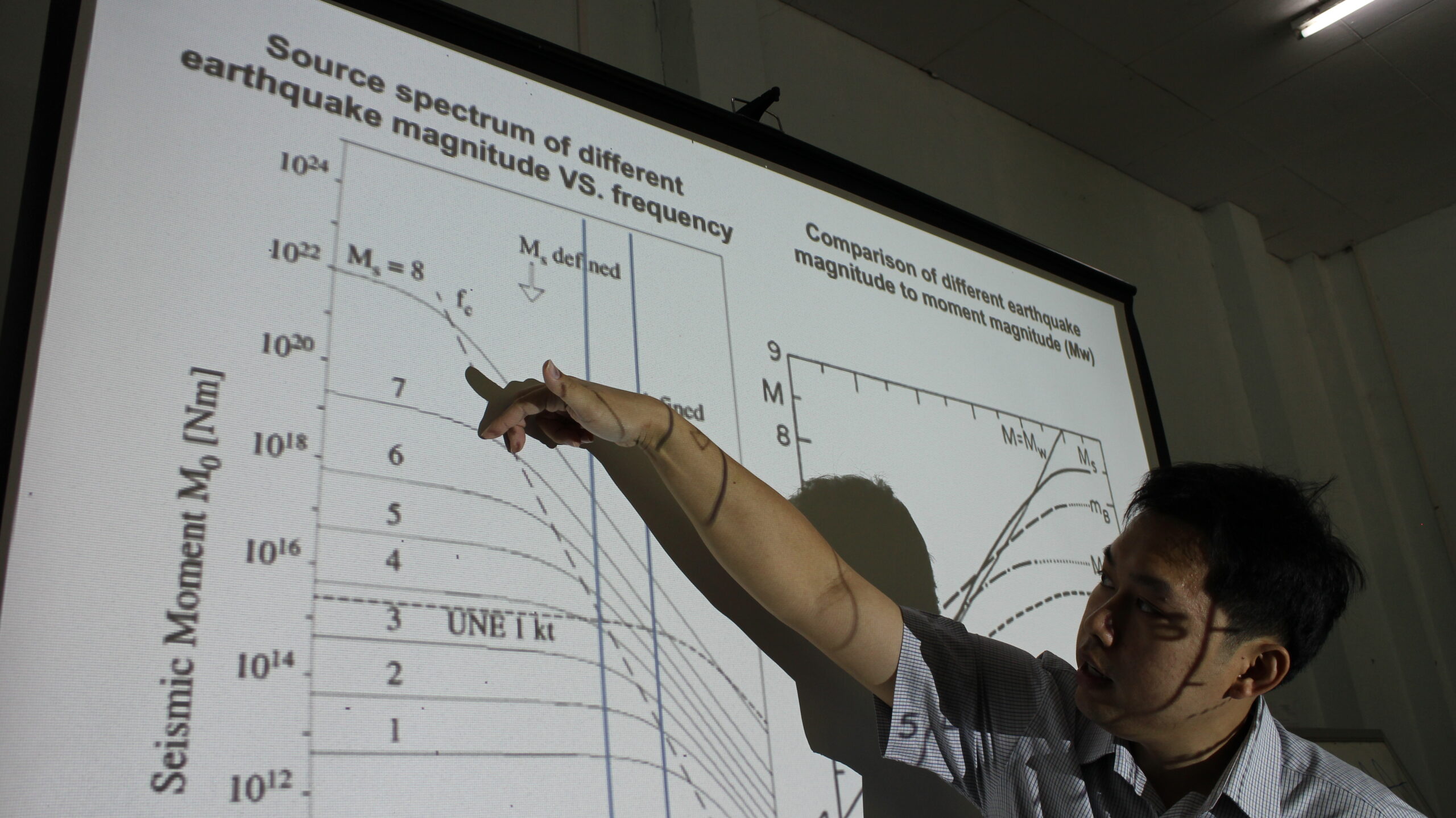
Earthquake monitoring, detection, and estimation of seismic parameters within the region are made possible through a network of seismic stations. The regional facility at RIMES meets this capability through streams of seismic data from seismic stations established with support from various sources such as ESCAP, INCOIS to increase the availability of seismic observations for tsunami…

Enhancing Observing and Monitoring Systems
—
by
Data from dense observation networks are ideally required for proper monitoring of atmospheric, oceanic, and geologic elements for assimilation into numerical predictions to generate forecasts and subsequent issuance of timely early warning information for disaster prevention. To enhance data availability for improved climate forecasting and prediction services, RIMES facilitates the establishment and upgrading of observing…

History
—
by
January 2005 RIMES evolved from the proposal by the Royal Thai Government to the Special ASEAN Leaders’ Meeting on 6 January 2005, in the aftermath of the 2004 Indian Ocean tsunami, and subsequently to the Phuket Ministerial Meeting on Tsunami Early Warning Arrangement held on January 28 through 29, 2005, to establish a tsunami early…

Overview
—
by
Overview The Regional Integrated Multi-Hazard Early Warning System (RIMES) is an intergovernmental institution owned and managed by its member states, for building capacities in the generation and application of user-relevant early warning. RIMES evolved from the efforts of countries in Africa, Asia and the Pacific, in the aftermath of the 2004 Indian Ocean tsunami, to…